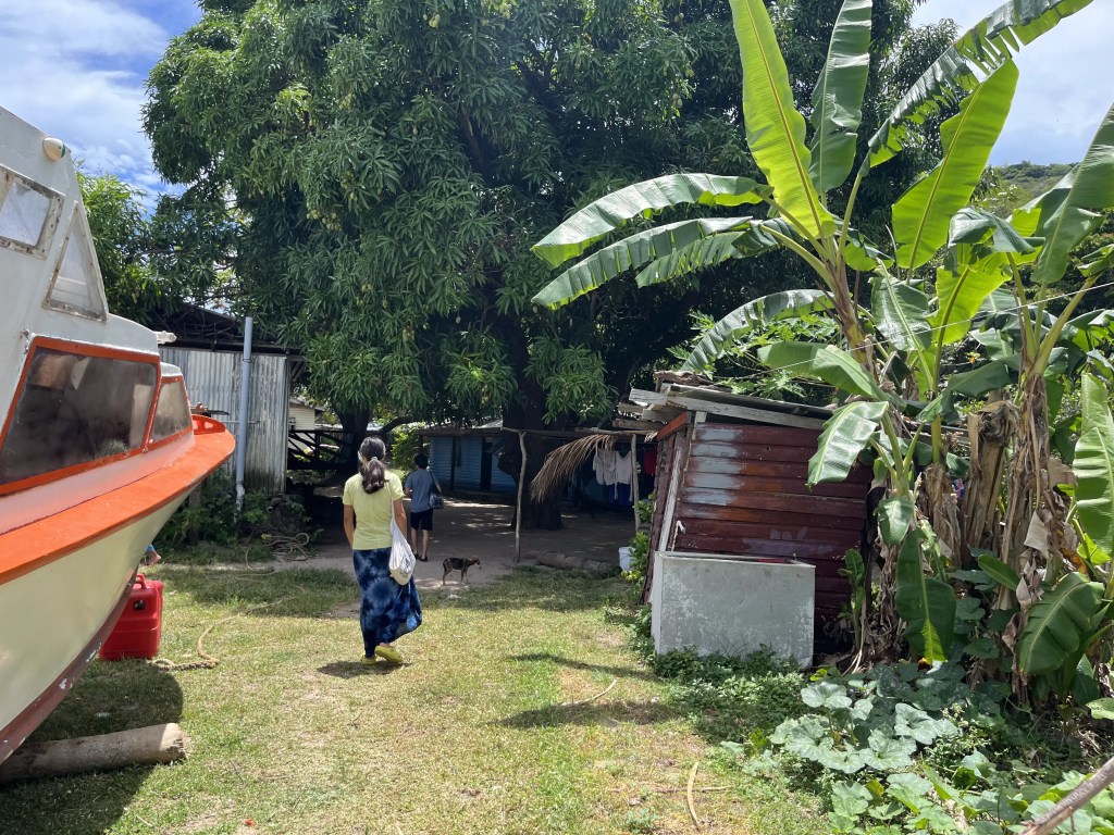
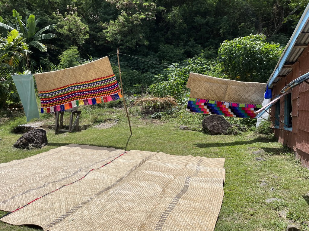
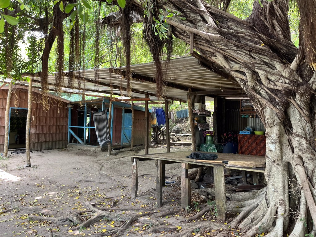
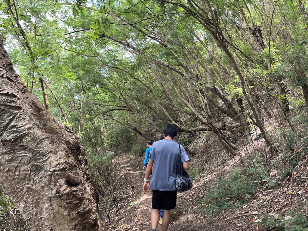
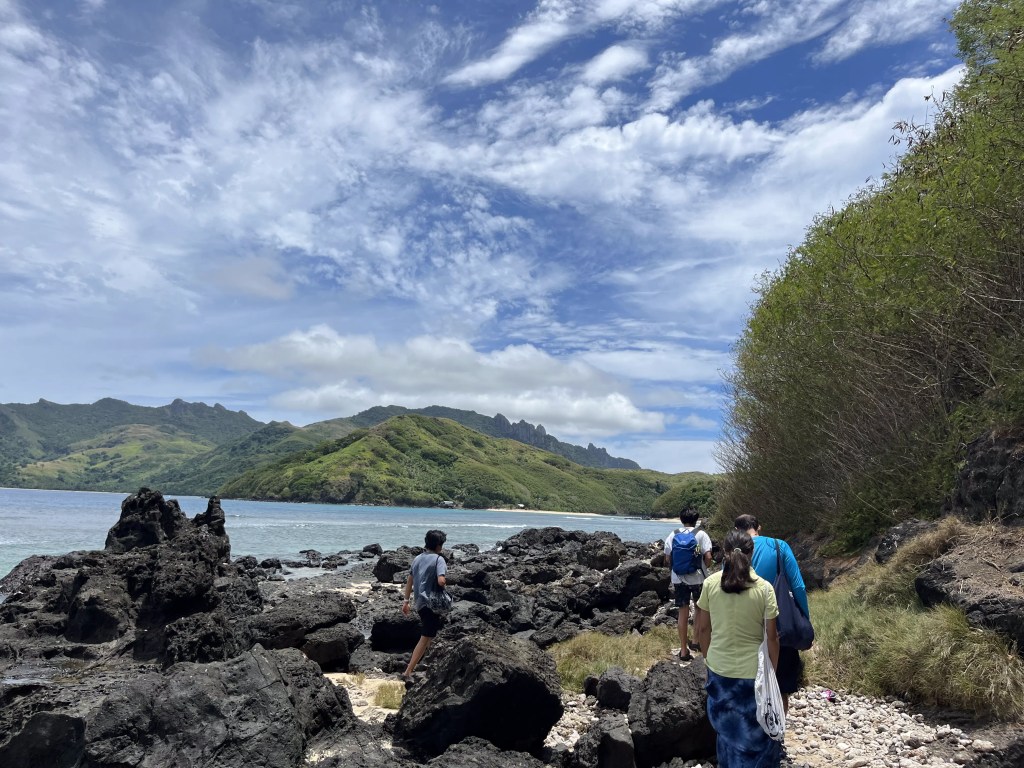
Bill told us that a great swimming spot was a sand bar that connects to the next island at low tide on the north side of the island. Sand bars are underwater ridges created by waves and currents.Close to low tide is the best time to go, and after walking north along the beach, we headed into the village just past the boat on the right. Sara, Bill’s daughter, guided us through the village and past a school so we would know where to go for the next time. Three of the village kids accompanied us: Ben, his sister Endi, and their cousin Paula.That is a massive mango tree, laden with mangoes!! The village is hidden down this path.Many of the homes had a solar panel outside.Interspersed throughout the village were these large rainwater tanks. I wonder how they transport these to the island?There was a litter of puppies recently – this one came out to play.Sea cucumbers drying in the sun. The villagers collect them at low tide, while snorkelling or free diving. They aren’t supposed to use scuba equipment for collection to prevent overexploitation.This beautiful home is the pastor’s house. The church is Methodist, and we attended a mass.Hiding behind this home is a satellite dish.More sea cucumbers, being prepared for export to China. After being cleaned in seawater, they are boiled. Then a small slit is cut to remove the internal organs. After that, they’re smoked and then dried in the sun.Another part of the village.Padanus leaves drying in the sun. These are used to weave baskets and mats.These mats are being aired out – they cover almost all the spaces in the homes we peeked into.The next couple of times we came by here in the late afternoon, people were napping on the platform.The path continues through the woods at the end of the village.We followed the coast, and smelled this long before we saw it.The single inhabitant was fast asleep.One of several village garbage dumps. Bill said that sometimes they bury their garbage, but usually it’s just piled.The path ends at this beautiful and deserted beach! But we’re not stopping here.We continue north, picking our way past these lava boulders.Felix examining ancient lava flows … Fiji is in the Pacific Ring of Fire. The Fijian islands were formed by volcanic eruptions, but the area is now dormant.Behind Neil is the sand bar! Paula told us only to swim on the left side of the sand bar. This is because the school plants coral, and they had just planted on the right side of the sand bar last week. They are trying to leave it “undisturbed” to grow.We came here to swim a few times with Ben, Endi, and Paula. Each time they hear a motorboat, they yell “Boat!!” and usher us towards the shallows so the boat can pass. The boats (taxis) were full of people (see the video). Sometimes we weren’t sure if they would actually make it across, and when they did, there would be lots of cheering. 😄
Nolan took some overhead shots with his drone:
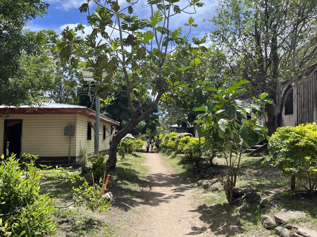
The village we walked through to access the sand bar. That’s the school field on the left.
Related
3 thoughts on “Through a village to a sand bar”
Sea cucumbers?! Are they a popular food there? Did you try them out? Looks like a very beautiful area. So cool that you are able to find such unique places like these.


Sea cucumbers?! Are they a popular food there? Did you try them out? Looks like a very beautiful area. So cool that you are able to find such unique places like these.
The Fijians do eat them, but we weren’t served any. I’ve had them before. They’re kinda crunchy but also a bit jelly-like.
A very different world from here. What an experience.